|
|
|
|
|
|
Nakai Mesa in Copper Canyon. This is a 1500' cliff with a great trail going up and then across 16 miles down the other side, across another canyon, and back up 2000' Paiute Mesa. This is so far out into the wilderness that I actually felt uncomfortable being there!
|
Vehicle tracks at the base of a huge dune in Cane Valley.
|
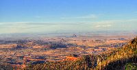
Looking East from Roof Butte in the Chuska Mountains. Shiprock can be barely seen off in the distance.
|
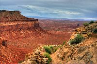
Looking back from the top of Nakai Mesa in Copper Canyon.
|
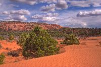
More dunes in Cane Valley.
|
|
|
|
|
|
|
Navajo Mountain, from the South on a verry windy day.
|
Trees partially buried by sand in the wilderness between Shonto and Navajo Mountain.
|
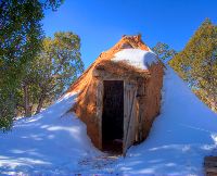
Hogan at the Visitor's Center in Navajo National Monument.
|
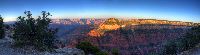
Grand Canyon panorama from the North Rim, in early June.
|
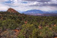
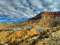
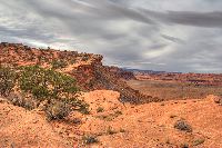
Black Mesa hills East of Kayenta.
|
|
|
|
|
|
|
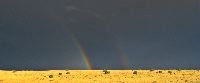
Double rainbow following a huge storm at Wupatki National Monument, North of Flagstaff.
|
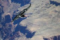
Giant California Condor above the Grand Canyon. Nine foot wingspan!
|
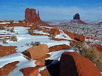
Monument Valley in Winter.
|
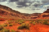
Laguna Creek valley, just West of Kayenta.
|
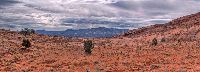
Black Mesa from the North.
|

|
|
|
|
|
|
Another panorama from Roof Butte in the Chuska Mountains.
|
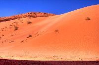
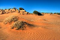
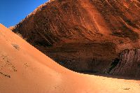
Where the dune meets the rock. Look closely for a spring tank under the overhang. This is a huge dune.
|
The driveway to 93-year old Henry Lane's summer sheep camp, where I camped for a couple days. His winter camp is on the South Rim of the Grand Canyon!
|
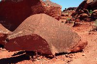
Rock art just Northwest of Tuba City.
|
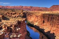
The Colorado River at Lee's Ferry. Nice camping here.
|
|
|
|
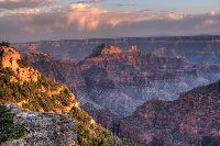
Another view of the Grand Canyon from the north Rim.
|
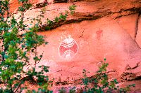
"Baseball Man" pictograph panel in Chinle Wash.
|